
The Burren, Ireland
A journey through the ancient landscape of the West Coast of Ireland

To read the full article by travel writer Oliver Smith please find it here. This was an assignment for National Geographic Traveller.
The Burren, located in County Clare, Ireland, stands in stark contrast to the country’s famous green landscapes. Known for its karst landscape, the Burren covers about 140 square miles and derives its name from the Irish word “boíreann,” meaning “rocky place.” Unlike the rest of the Emerald Isle, where 40 shades of green prevail, it is a region of bare limestone, marked by swirling patterns that resemble the fingerprints of a giant. This place is both austere and captivating and although impressive it was a challenge to photograph under the overcast skies. Grey rocks and grey skies equal very flat images!
The history of the Burren dates back about 325 million years, when it lay beneath a tropical sea. Over time, marine organisms formed sedimentary rocks, which were later exposed by glaciers and human activities. Early farmers cleared the forests that once held the soil in place, leaving the land dry and rocky, much as it appears today. Exploring the Burren, you find fossils of ancient marine life, like corals and sea urchins, as well as traces of human civilizations, such as the Caherconnell Stone Fort, a medieval structure that once offered protection against enemies and the elements.
Despite its appearance, the Burren is home to rich biodiversity. Hidden within the grikes (fissures in the rock) thrive rare wildflowers like gentians, milkworts, and orchids, creating tiny pockets of life within the stone. The unique geology also influences local agriculture. In contrast to typical transhumance, farmers in the region move their herds up to the hills in winter, where the limestone releases stored heat, making the harsh climate more bearable.
The Burren also holds a significant place in Ireland’s cultural and spiritual history. Monuments like the Poulnabrone Dolmen, a portal tomb dating back nearly 6,000 years, testify to ancient rituals and the long-standing role of the region as a sacred place. Nearby, the holy well of St. Columcille once drew pilgrims seeking blessings, marking their journeys with stones symbolizing prayers or pious acts. Though these sites are less frequented today, the spiritual connection between the land and its people remains.
The inspiration that the Burren’s landscape provides goes beyond its geological features. It’s said that J.R.R. Tolkien was inspired by the contrasting beauty of the Burren when creating Middle-earth—lush and welcoming in sunny weather, yet as dark as Mordor when storms approach. I certainly felt this when photographing the landscape – it’s hard to put it into words, but it has the sense of somewhere truely ancient and int he possession of many secrets of the past.


Leading Cromwell’s forces against guerrillas in the 1650s, Edmund Ludlow famously remarked the Burren was ‘a country where there is not enough water to drown a man, wood enough to hang one, nor earth enough to bury him’.

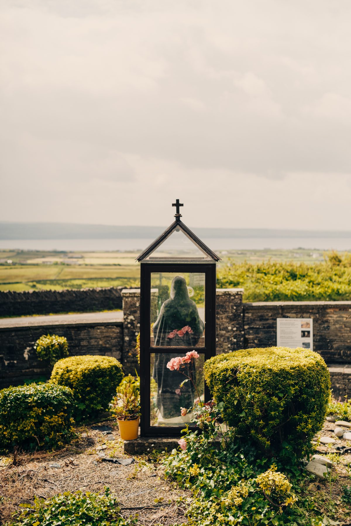


“JRR Tolkien travelled here, and it’s locally claimed the Burren was a template for Middle-earth. The locals never specify exactly which part it inspired, though — in sunshine, it’s as fantastical as Hobbiton; in bad weather, as severe as Mordor.”


“Neolithic farmers chopped down the forests that clung to the shallow soil of the Burren — until, with no roots to hold them, the clods of earth dispersed and the limestone finally became exposed.”


